Nature Trail
Follow the trail of Richard Strauss
On this tour, you will discover the town and get to know Richard Strauss much better. Discover his residential house, his favourite places and the places he did not like to visit.
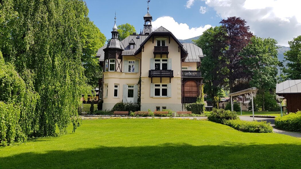
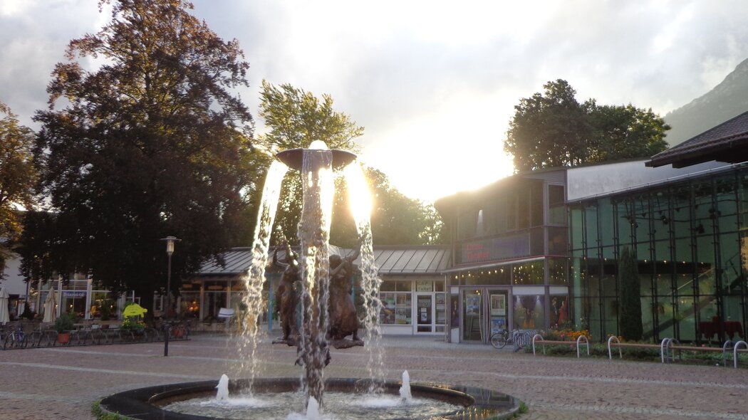
Start on Schnitzschulstraße, turn left and walk to Hauptstraße. Keep to the right and turn left onto Bahnhofstraße at the intersection. When you reach the sports store, turn right onto Wettersteinstraße and left onto Enzianstraße. Follow this road until you reach Richard-Strauss-Platz (square). Only a few more steps and you will reach Café Krönnerin in the pedestrian zone. Continue through the pedestrian zone and pass the Atlas Posthotel at Marienplatz square. Here, Richard Strauss used to play skat. After a short distance, turn right at the Gasthof “Lamm” (inn), and turn left onto Von-Müller-Straße at the Joseph’s Brunnen (fountain). Von-Müller-Straße crosses Griesgartenstraße in an acute angle before you reach the Loisachbrücke (bridge over the Loisach River). After the bridge, follow the Loisach on the left hand side to the "Ritter von Halt Stadion". Before the station, Zoeppritzstraße starts to the right. Follow this street to the Villa of Richard Strauss. Continue on Zoeppritzstraße until you turn left onto Buchbergweg at the end of which you will turn right onto Husarenweg. Follow this road to Brauhausstraße. Turn left and follow the street for approx. 20 minutes (keep right) until you reach the southern entrance of the graveyard of Garmisch. If you continue following the street, you will reach Falkensteinstraße and Burgstraße at its end. There, you can get on the local bus (route 3 and 5) from Burgrain, which will bring you back to your starting point. Get off at Sebastiaskirche and walk along the historic Ludwigstraße until you turn right onto Schnitzschulstraße.
Characteristics
condition
technology
experience
landscape
best seasons
January
February
March
April
May
June
July
August
September
October
November
December
tour in numbers
route
4.5 km
duration
1:45 h
ascent
0 m
descent
21 m
lowest point
690 m
highest point
711 m


