Hiking Trail
Hike along the Kramerplateau trail above Garmisch-Partenkirchen
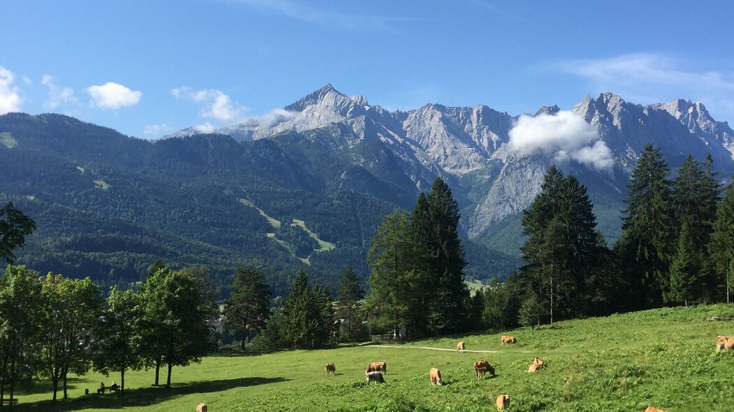
A nice tour at the foot of Mount Kramer with beautiful views and along well-maintained hiking paths. There are no major ascents or descents. You have numerous possibilities to make the tour shorter by using one of the paths leading back into the valley.
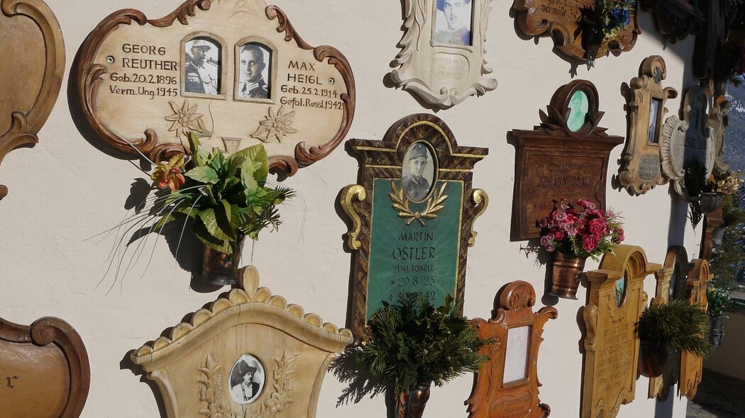
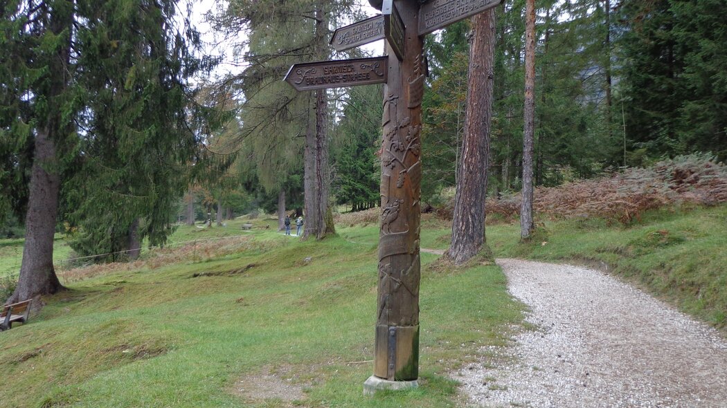
Starting at the parking area, walk along Alleestraße until you reach the Loisachbrücke. On reaching the bus stop, cross Promenadenstraße and then the Loisachbrücke to the right. Walk a short way along Fürstenstraße until turning left onto Frühlingsstraße. Turn right when you reach Kramerstraße. Follow this road “Am Feldkreuz” and the bend to the right until you reach the hiking path at the Kramerplateau. Follow this uphill path to the right and then turn left after a short time in the direction of Maximilianshöhe. Turn left when you reach the Alpine hut “Almhütte” and circle the Maximilianshöhe. This way, you will walk back on the already known part of the Kramerplateauweg. To get back, turn right to the memorial chapel for soldiers (Kriegergedächtniskapelle) and via the slopes of Mount Kramer until you reach Brauhausstraße. When you have reached the valley, turn right and walk back via Brauhhausstraße, Lazarettstraße and Fürstenstraße to the Loisachbrücke.
Characteristics
condition
technology
experience
landscape
best seasons
January
February
March
April
May
June
July
August
September
October
November
December
tour in numbers
route
8.1 km
duration
2:25 h
ascent
141 m
descent
141 m
lowest point
693 m
highest point
801 m


