Hiking Trail
Via St. Anton, Gamshütte and Eckenhütte to Mount Wank
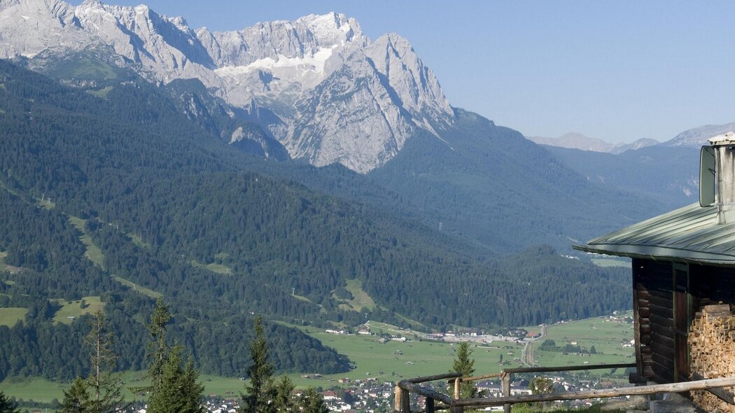
This tour leads you on well-developed hiking paths through a very old pine forest above Partenkirchen, with magnificent views of the valley, the Waxenstein Mountains and the mountain ranges of the Wetterstein and the Zugspitze.
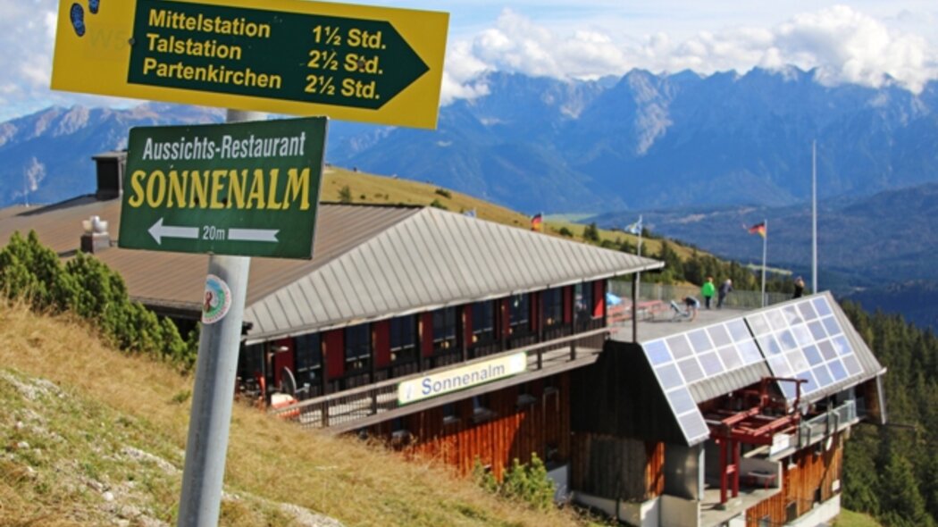
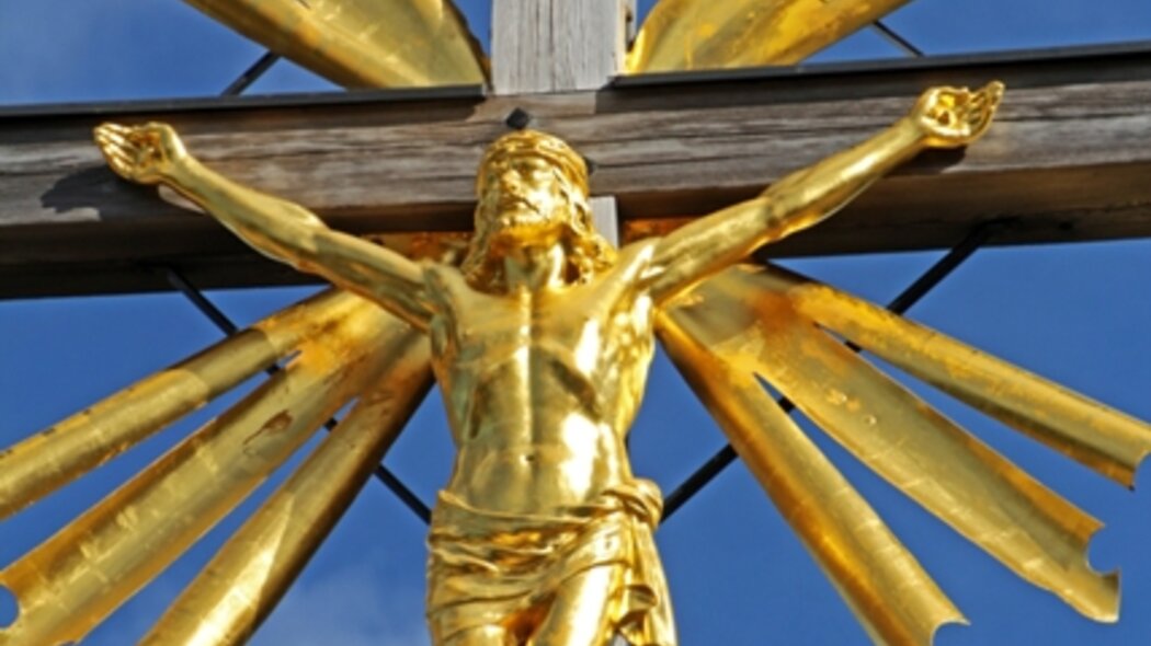
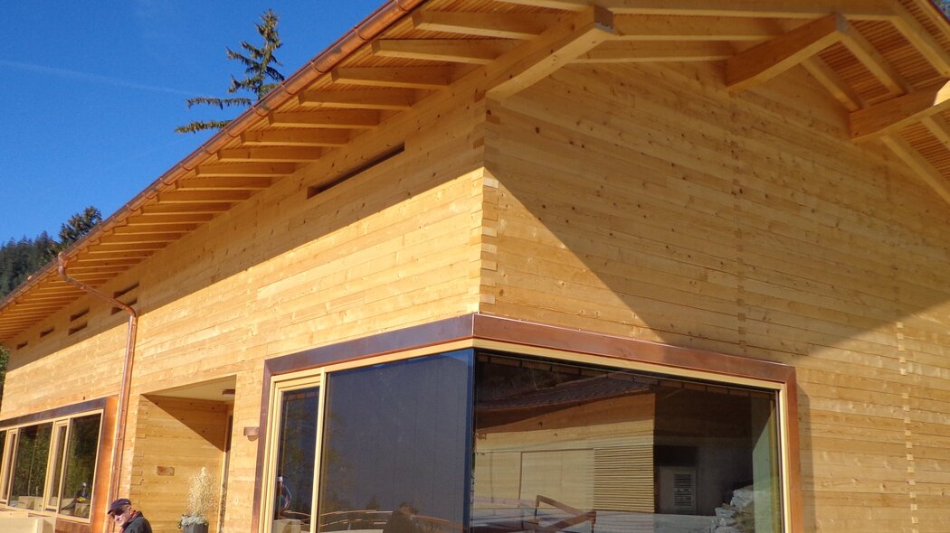
The hike starts at the parking site of the Wankbahn cable car in Garmisch-Partenkirchen. Take a look at the large information board before following the forest track right next to it. The track leads you to a road, which you follow for a short while, before turning right at the next junction. You pass the mountain inn Berggasthof Panorama and the church of St. Anton. Above the church you turn into the hiking trail in the direction of the Gamshütte (closed) and follow the serpentines uphill. Passing the Josefbichl (wayside cross) and to the left along the Schalmeischlucht gorge you reach the mountain inn Gamshütte. In front of the inn, the hiking trail turns uphill and leads directly to the next inn, Eckenhütte. If you have had enough exertion, you reach the Wankbahn middle station in 25 minutes from here, where you can take the cable car to the summit. Reaching the summit on foot, you follow the serpentines from the middle station for around 1.5 h. You walk uphill all the time, but will be rewarded with a magnificent view. On the path on the south side of Mount Wank you walk in the sun almost all the time, so take care to take enough to drink.
A good way back down is the one via the Esterbergalm alp with its horses and cattle. From the summit of Mount Wank you take a steep track to the north down to the Esterbergalm (1,262 m) and from there, you walk on a well-developed path via the chapel Daxkapelle (962) back to the base terminal of the Wankbahn cable car. For this tour to the beautiful mountains of the Estergebirge you should have a reasonably good stamina.
Characteristics
condition
technology
experience
landscape
best seasons
January
February
March
April
May
June
July
August
September
October
November
December
tour in numbers
route
17.4 km
duration
6:45 h
ascent
1113 m
descent
1108 m
lowest point
729 m
highest point
1776 m


