Mountain Hike
Through Höllentalklamm gorge to the Alpine hut Höllentalangerhütte
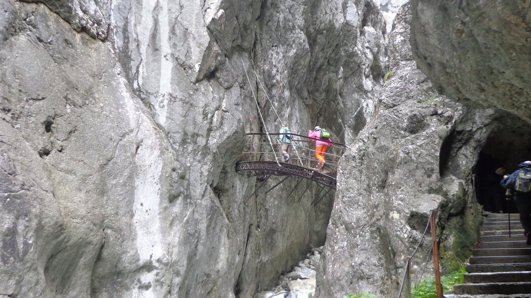
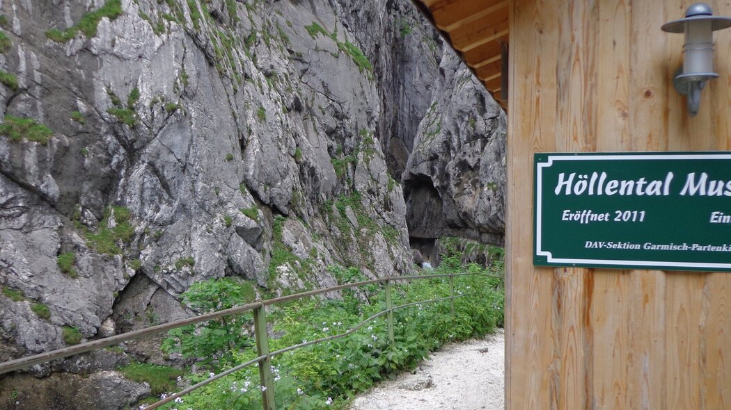
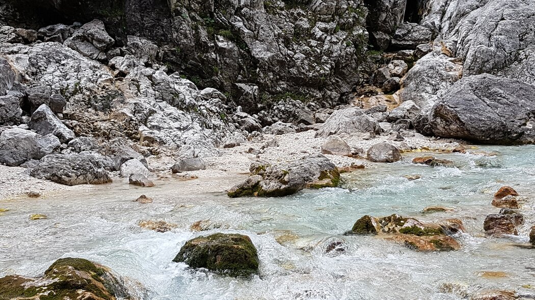
The tour through Höllentalklamm gorge to the Alpine hut Höllentalangerhütte takes us off into the varied world of the mountains. Outside the gorge, the Hammersbach River seems nondescript, but inside the gorge it is a thundering torrent.
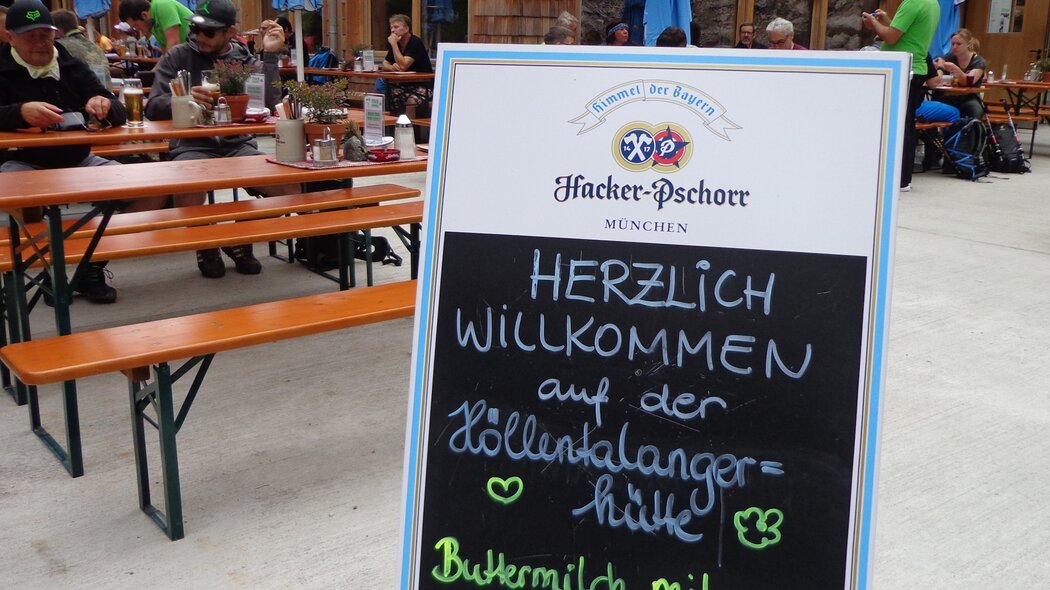
If you travel by car, you can get a summary of the tour by looking at the information board at the large car park for hikers. From here you follow the road to your right into Hammersbach, where you will reach a small chapel next to the stream. If you travel by Zugspitzbahn railway, you will take the footpath leading away from the station, which will also take you to the chapel. The bus stops right here, so the chapel is an ideal starting point. To the right of the chapel, the footpath takes you straight into the forest. Continue to follow this path uphill until, a short distance before the entrance to the gorge, you follow the signposts to the left for “Höllental über Stangensteig” (Höllental valley via Stangensteig trail) . Now you will climb up high above the entrance to the gorge and enjoying fantastic views of the Alpine forests and the Loisach valley, you will walk all the way to the Eiserne Brücke (iron bridge), which crosses the gorge at 70 m high. From here on the trail will take you further uphill. After a short, steep downhill stretch you will meet the path coming out of the gorge, which will take you up to your left and after a short uphill hike to the Alpine hut Höllentalangerhütte . A short rest on the terrace of this hut, enjoying the impressive views is a definite must. You will take the same way back, but you will notice that the gorge and the footpath leading out of the Hammersbach valley seem very different and you will discover completely new things because of the change in viewpoint.
Characteristics
condition
technology
experience
landscape
best seasons
January
February
March
April
May
June
July
August
September
October
November
December
tour in numbers
route
11.4 km
duration
5:45 h
ascent
947 m
descent
947 m
lowest point
758 m
highest point
1401 m


