Bike Riding
Uphill tour via Pflegersee to the Reschbergwiesen
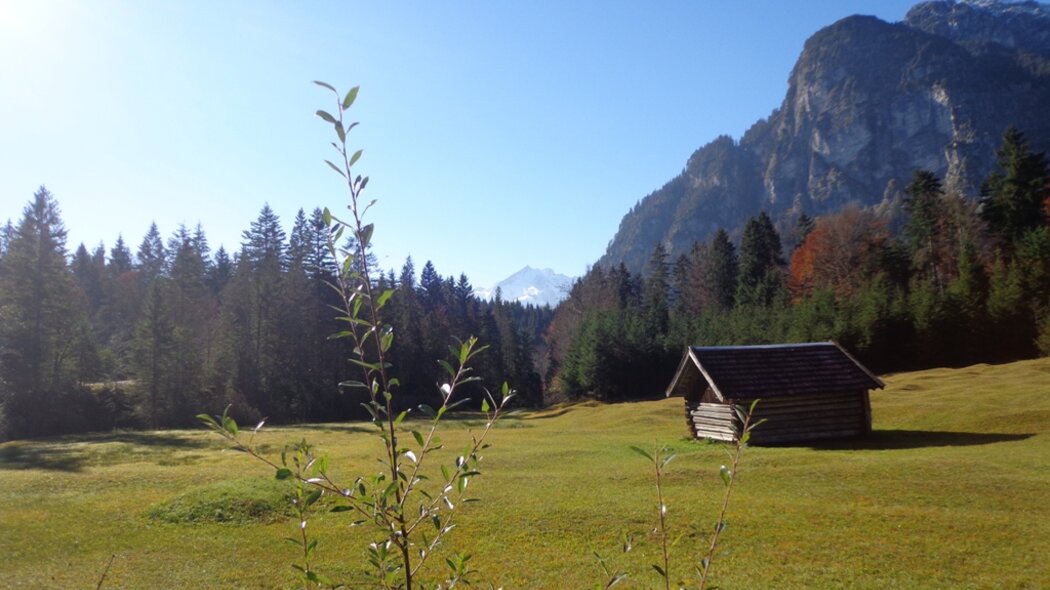
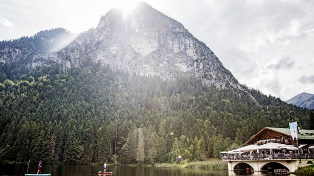
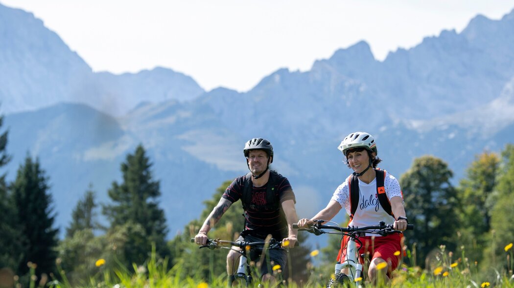
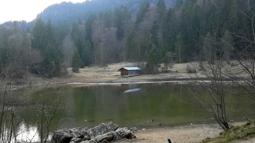
A nice little tour to the Pflegersee (Lake Pfleger) and to the meadows called Reschbergwiesen. This tour is also perfect with older children. Of course, you have the possibility to stop for a bite to eat or refreshments or have a swim in the lake.
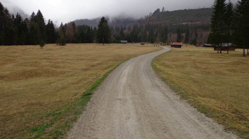
From the parking site in front of the station’s main entrance go right, pass the travel agency and pedal down Bahnhofstraße. At the traffic light, turn left onto Von-Brug-Straße. After the railway bridge, turn right onto Parkstraße and follow it to the Loisachbrücke (bridge over the Loisach River). Here, turn right onto the bicycle lane at the intersection controlled by traffic lights. Continue on the bicycle lane until you reach Thomas-Knorr-Straße. Turn left here and ride straight ahead to Pflegerseestraße. Now, you will pass Lake Schmölzer See and drive uphill to the Pflegersee. The restaurant will now be on your left. Pedal straight ahead onto the forest road, which starts with a short descent and continues uphill and with a short but steep ascent to the Reschbergwiesen (meadows). Turn right and pedal on the broad forest roads to Burgrain. Again keep right and ride on the signed bicycle lane to the fork to Thomas-Knorr-Straße. Cross the state road B2 and the wooden bridge to the left side of the Loisach. Then, continue on the right hand side along the river, turn onto Längenwangstraße and then immediately right onto Martinswinkelstraße. Turn right and immediately afterwards left at the major intersection onto Von-Brug-Straße and then onto Partnachstraße. Continue onto Partnachstraße until you reach Enzianstraße, at the end of which you will return to Bahnhofstraße. Now, you will have to cycle only a short distance straight ahead and you will then return to your starting point.
Characteristics
condition
technology
experience
landscape
best seasons
January
February
March
April
May
June
July
August
September
October
November
December
tour in numbers
route
12.9 km
duration
1:30 h
ascent
240 m
descent
239 m
lowest point
684 m
highest point
904 m
