Trail Running
Above Garmisch-Partenkirchen on the Kramerplateau trail
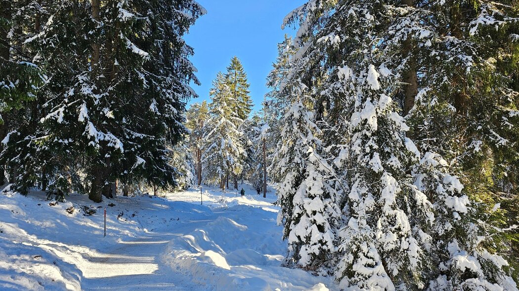
Beautiful panoramic trail at the foot of the Kramer on well-maintained paths without major inclines. There are numerous opportunities to shorten the tour with various descent options.
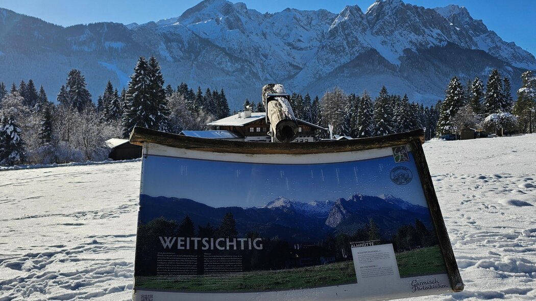
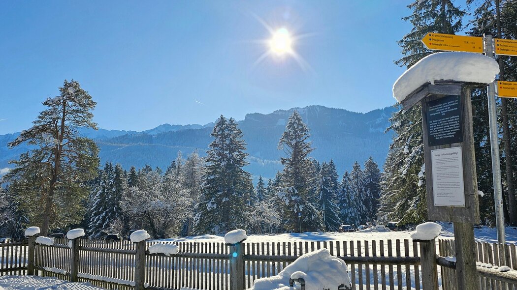
From the car park, walk along Alleestraße to the Loisachbrücke bridge. At the bus stop, first cross Promenadenstraße and then turn right over the Loisachbrücke bridge. After a short stretch along Fürstenstraße, turn left into Frühlingsstraße until you reach Kramerstraße, where you turn right. Continue straight ahead and follow the right-hand bend along the road "Am Feldkreuz" to the Kramerplateau. Follow the path initially to the right up the mountain and after a short time turn left to Maximilianshöhe. At the "Almhütte", turn left again and walk round the Maximilianshöhe before returning along the same section of the Kramerplateau trail. For the way back, turn right to the war memorial chapel and then to Brauhausstraße. At the bottom, turn right along Brauhausstraße, Lazarettstraße and Fürstenstraße back to the Loisachbrücke bridge.
Characteristics
condition
technology
experience
landscape
best seasons
January
February
March
April
May
June
July
August
September
October
November
December
tour in numbers
route
7.9 km
duration
1:56 h
ascent
246 m
descent
246 m
lowest point
693 m
highest point
801 m


