Snowshoeing
Through the Hasental to Pfeiffer-Alm and to the Gschwandtnerbauern
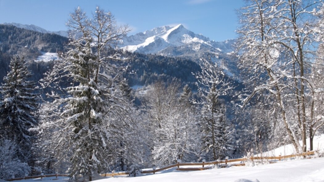
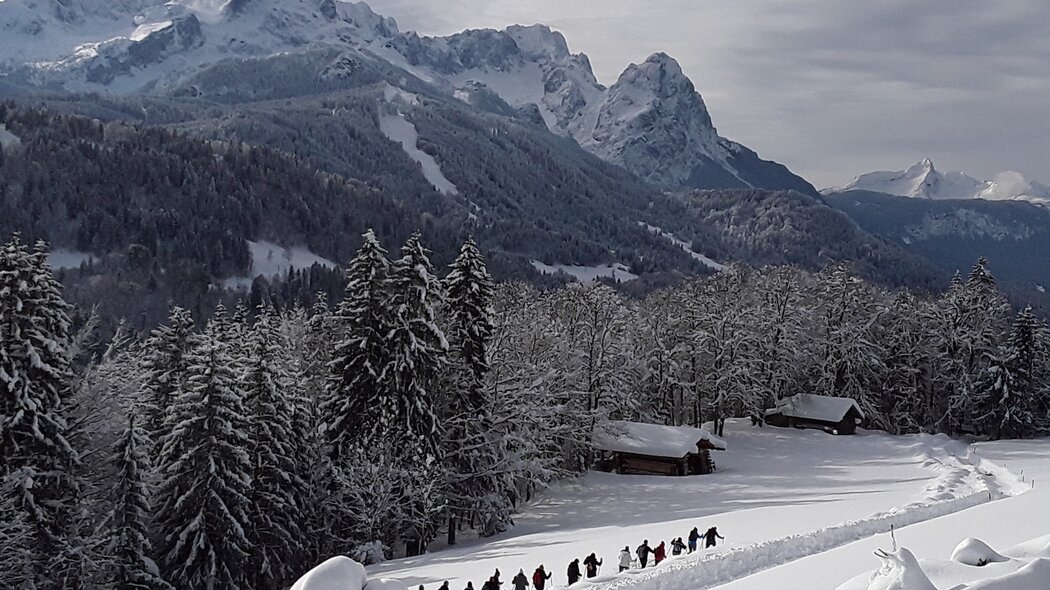
This interesting tour leads you over snow-covered meadows at the foot of Mount Wank and Mount Rosswank. The path is lined with numerous viewpoints that offer you a great view over Garmisch-Partenkirchen and the Wetterstein Mountain Range.
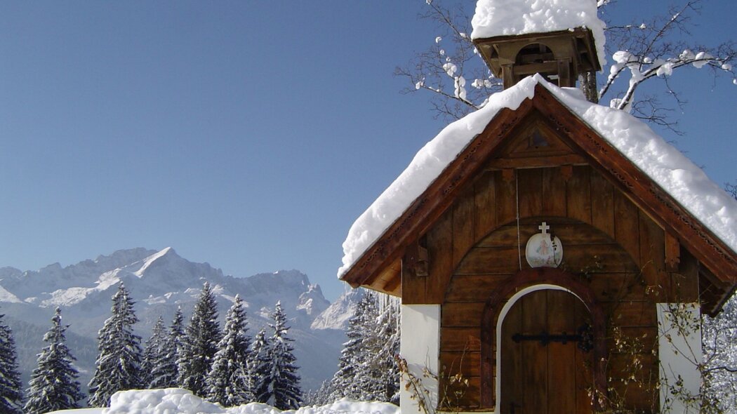
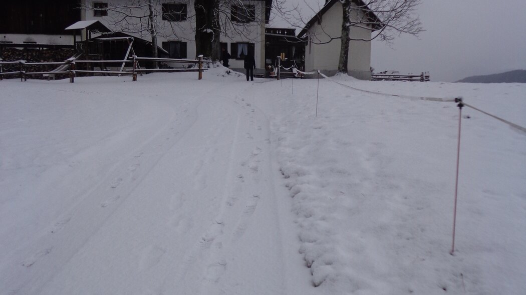
Start on Badgasse in the direction of the historic Ludwigstraße. When you are directly in front of the parish church (Pfarrkirche), turn left and walk straight to Schäfflerplatz square. Once there, turn right onto Sonnenbergstraße, walk past the Antonius- and Floriansbrunnen fountains and straight ahead onto Faukenstraße, which is where you will hear the gurgle of the Fauken. When you reach the "Gute Hirten" fountain, turn right and follow the ascending Hasentalstraße. After a 5 minute climb, the traditional houses allow for a view of the now-covered winter landscape. Turn left when you have reached the wooden fence and climb uphill a few metres. You should put on your snowshoes now, if you have not already done so. Then, the path leads you over snow-covered pastures to the edge of the forest. Keep to the left and follow the forest aisle. The path will lead you steadily uphill for approx. 45 minutes. Before reaching the open field from where you can already see the Pfeiffer-Alm (Alpine hut), you will have to climb a short and steep path alongside the fence. Walk past the Alpine hut and the small chapel, which are on the left hand side, and follow the asphalted road downhill on the right hand side. Turn right where you can see Wamberg, the highest-altitude village in Germany with its own church. Turn left at the next junction, and again left after a few metres onto the forest road to the Gschwandtnerbauern, which you will reach after a 25 minute uphill hike. At the Gschwandtnerbauer, you can stop for refreshments or something to eat. Return on the same route.
Characteristics
condition
technology
experience
landscape
best seasons
January
February
March
April
May
June
July
August
September
October
November
December
tour in numbers
route
10.6 km
duration
4:00 h
ascent
300 m
descent
300 m
lowest point
1000 m
highest point
1000 m


