Bike Riding
To the Enning-Alm
Beautiful but demanding mountain bike tour with impressive scenery.
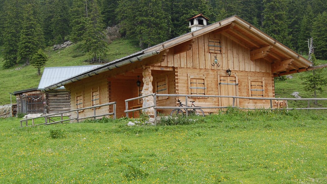
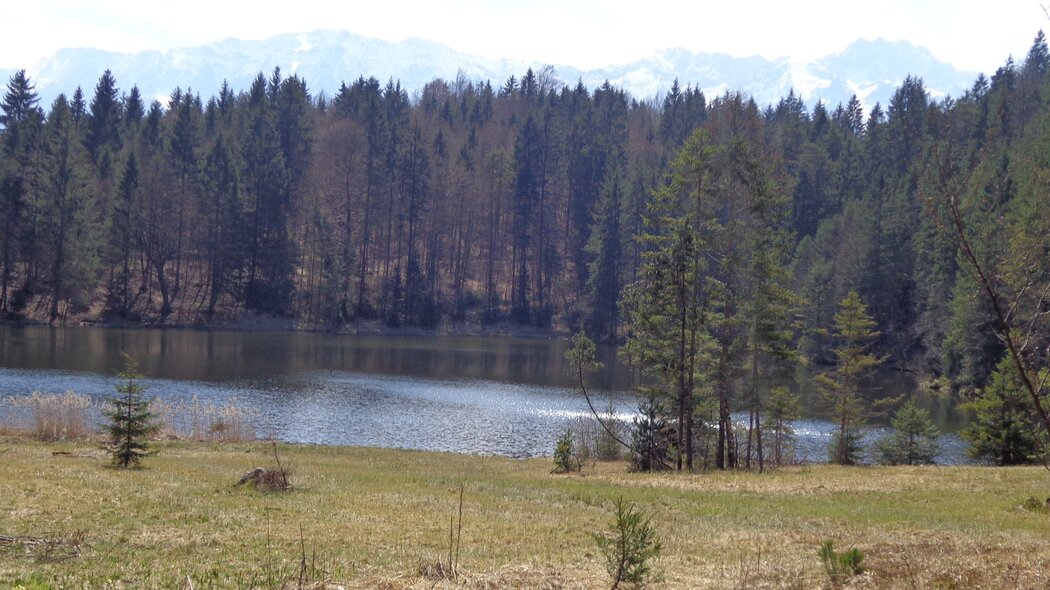
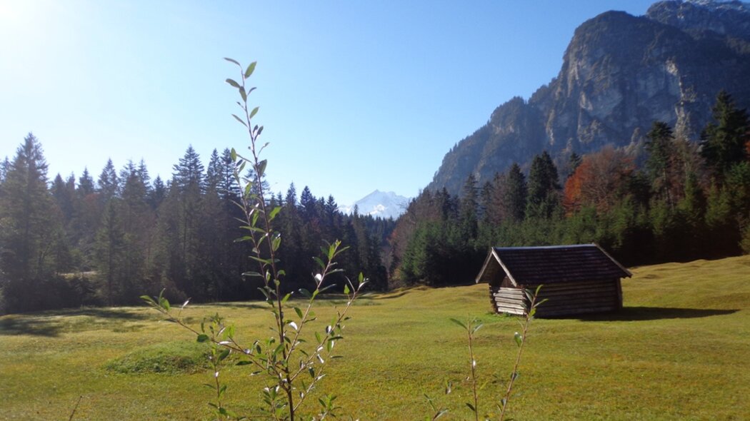
From the parking site in front of the station you will go right, pass the travel agency and pedal down Bahnhofstraße. At the traffic light turn left onto Parkstraße. Follow its course to the major intersection. Here you will turn right along Burgstraße. After ca. 500 m turn left onto Thomas-Knorr-Straße and follow the signs to “Pflegersee”. Soon you will see an information board providing orientation. At Lake Pflegersee, a restaurant and a beach await you. Along the eastern bank continue on, following the signs to “Reschbergwiesen/Enning-Alm”. On the well-developed gravel path take on the next climb. After crossing a gorge, you can catch the first glimpse of the Loisachtal Valley. Soon the path turns more level and up ahead you will be able to see the meadows of Reschberg Mountain. Here you will be at an altitude of roughly 870 m, so you already managed the first 200 m altitude difference. At the large junction you should keep left and follow the cycling signs to the Enning-Alm. Stay on the forest track, which soon turns considerably steeper. Ahead of you lies the first of two longer climbs. Finally you will pass a small Alpine hut, in front of which a bench and a magnificent view invite you to take a breather. Unfortunately, the hut is not attended. Now you will take on the second climb that is even steeper than the first one. Then, the way goes downhill for a short while. Be careful not to miss the sign to the Enning-Alm, which will suddenly pop up on your right. Go uphill to the right. It may be better to get off your bike and walk it up the very steep climb (including steps) through the forest. Then, the forest clears and you can see the Enning-Alm. Take the same way back down to the valley.
Characteristics
condition
technology
experience
landscape
best seasons
January
February
March
April
May
June
July
August
September
October
November
December
tour in numbers
route
30.4 km
duration
3:45 h
ascent
976 m
descent
976 m
lowest point
687 m
highest point
1553 m


